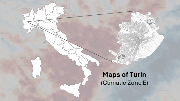
The Maps of selected urban districts in three Italian cities (Turin, Rome and Bari), developed using typical urban context configurations, illustrate spatial variations in heating and cooling degree days, energy needs for space heating and cooling, and peak heating and cooling loads across different time periods and under climate-resilient strategies.
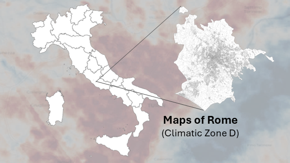
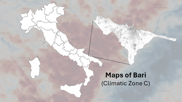
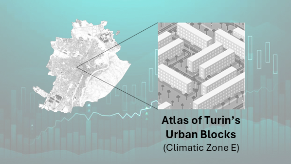
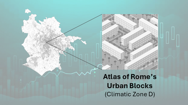
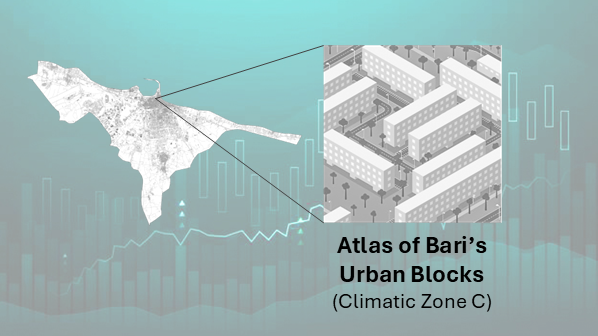
The Atlas of modelled urban blocks in selected urban districts across three Italian cities (Turin, Rome and Bari), represents current conditions (historical dataset) and future climate projections, including climate-resilient strategies, through Key Performance Indicator-based visualisations.